



Web-based Agricultural Information System for Bangladesh - WebAIS
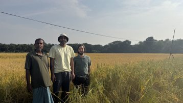
Agriculture is vital to Bangladesh’s economy, and irrigation is key to food production. But unregulated groundwater extraction, declining water levels and climate change are increasing water scarcity. WebAIS addresses this by combining field sensors with hydrological, climate and crop models on one platform to support real-time, data-driven water management and strengthen food security.
Project Description
WebAIS initiative introduces a novel digital agriculture framework, centered around the development of a “Digital Twin of Agriculture” a first-of-its-kind system in Bangladesh, designed to support both strategic planning and operational management.
The system integrates four modelling domains:
- Surface and subsurface water models: for simulating water availability and flow
- Crop and irrigation management models: to optimize field-level irrigation and cropping strategies
- Land system assessment: to analyse changing land use system and identification of plot level cropping patterns at the scheme level
- Integrated modelling: development of the digital twin to simulate different scenarios
The models and its results are integrated in the WebAIS platform, transforming isolated tools and knowledge bases into a powerful, synergistic operational system. This integrative approach positions the projects as a scalable and adaptive infrastructure for digital agriculture in Bangladesh.
At a Glance
| Category | Description |
|---|---|
| Research project | Web-based Agricultural Information System for Bangladesh (WebAIS) More |
| Management |
Prof. Dr. Lars Ribbe, Project Director International Mahfuza Akter (BADC), Project lead Aaron Firoz (LIST), Technical coordination co-lead |
| Faculty | Faculty of Spatial Development and Infrastructure Systems |
| Institute | Institute for Natural Resources Technology and Management (ITT) |
| Partners |
European Partners: - TH Köln: University of Applied Sciences ITT , Lead and coordination. ET modelling crop classification and capacity building - Luxembourg Institute of Science and Technology (LIST), Co-lead. Database ET crop classification and system development - TU Darmstadt - University of Bonn - 52°North: Open geospatial software for the database and platform Bangladeshi Partners: - Bangladesh University of Engineering and Technology (BUET) - Bangladesh Agricultural Development Corporation (BADC) - Bangladesh Agricultural University (BAU). - Bangladesh Rice Research Institute (BRRI) - Bangladesh Agricultural Research Institute (BARI). - Socio-economics, Bangladesh Agricultural University (BAU) - Sreejon Bangladesh. Advisory members: - University College London - Commonwealth Scientific and Industrial Research Organisation (CSIRO) - Bangladesh Water Development Board (BWDB). |
| Sponsors | The WebAIS initiative is a strategic infrastructure project jointly funded by the Government of Bangladesh, Ministry of Agriculture, and the TH Köln lead consortium. Execution is managed by the Bangladesh Agricultural Development Corporation (BADC), Minor Irrigation Division as executing agency. |
Specific Project Objectives
Ultimately, by transforming data into decisions, and modelling into management, WebAIS aims to :
- Increase irrigation efficiency
- Boost agricultural productivity
- Lower energy and fossil fuel consumption
- Stregthen resilience to climate-related risks
- Enhance national food security and rural livelihoods
Publication Description
Most outputs are project deliverables and progress reports for BADC and the Ministry of Agriculture. They also include student theses, workshop materials and peer-reviewed papers. The public website shares project information.
Access without registration?
The website is open to all. But real-time sensor data and model outputs are only available upon request.
Publication Link / Teams path
webais-bd.com for the public site. Real-time data via smartsense.lu. Time-series via the WebAIS platform with consortium login.
Thematic Areas and Work Packages
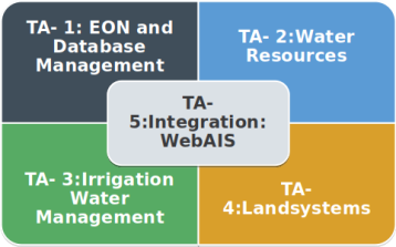 Web-AIS Thematic Areas
(Image: Web-AIS Project)
Web-AIS Thematic Areas
(Image: Web-AIS Project)
Table: Thematic area and work packages of WebAIS
WebAIS is structured across five Thematic Areas (TAs) and ten Work Packages (WPs), forming the backbone of the Digital Twin
| Thematic area | Work package | Institutions |
|---|---|---|
| TA-1: Environmental Observation Network and Database Management |
WP-1: Instrumentation setup and database management Development of agro-hydrometeorological sensors and a centralized data system providing real-time soil moisture, weather, groundwater and surface water observations. |
LIST Luxembourg, TH Köln, 52°North, Sreejon |
| TA-2: Water Resources |
WP-2: Groundwater modelling and its interaction MODFLOW-based simulations of aquifer levels and salinity trends help define safe yield and long-term availability. |
TU Darmstadt |
| TA-3: Irrigation Water Management |
WP-4: Crop growth model DSSAT-based simulations predict crop phenology, evapotranspiration and yield under different irrigation and climate conditions. |
BAU |
|
WP-5: Experimental plot Experimental plots at three locations: Natore, Manikganj and Satkhira districts. |
BRRI, BARI | |
|
WP-6: ET Model Remote-sensing and sensor-driven evapotranspiration modelling informs daily irrigation advice. |
TH Köln | |
| TA-4: Land System | WP-7: Agricultural land system shifts and changing crop water demand | University of Bonn, TH Köln |
|
WP-8: Socio-economic assessment Understanding farmers’ adaptive capacities, resource constraints and decision-making environment. |
BAU | |
|
WP-9: Crop classification EO-based classification of cropping patterns using Sentinel-1/2 imagery and knowledge-based classifiers. |
TH Köln, LIST | |
| TA-5: Integration of WebAIS |
WP-10: WebAIS system development The digital twin integrates modelling outputs and field data into a unified, interactive digital platform. |
LIST, TH Köln |
Data
| Name | Type | Access / Source |
|---|---|---|
| Soil moisture, temperature and water potential from Teros 12 and 21 sensors at four sites. | Sensor time-series | Web-AIS platform |
| Weather data: rainfall, temperature, humidity, wind and solar radiation from Campbell Scientific stations. | Sensor time-series | Web-AIS platform login |
| Experimental plot data for Boro 2024–2025: crop water use, ET pans and yield. | Field measurements | BRRI and BARI, shared with BAU |
| Household survey of 415 farmers across four districts. | Survey and socio-economic data | WP-8 BAU consortium |
| Crop classification and rotation maps for Boro rice. | Raster EO from Sentinel-1 and Sentinel-2 | WP-9 TH Köln and LIST |
| Census and secondary statistics at upazila level. | Tabular data | WP-7 BBS data |
| Groundwater levels and aquifer model. | MODFLOW output | WP-2 TU Darmstadt |
| Surface water from 14 discharge and six meteorological stations, including SWAT hydrodynamic and polder salinity models. | Gauge and model data | WP-3 BUET and IWFM |
| Satellite precipitation and ET products: CHIRPS, GPM IMERG and ERA5-Land. | Raster EO | WP-6 TH Köln and LIST |
Findings
Operational field monitoring network established
Environmental sensor stations have been installed and are operational in Manikganj, Satkhira, and Natore. These stations collect real-time agro-meteorological, soil moisture, evapotranspiration, radiation, and irrigation water-use data to support model calibration and decision-making.
Reliable Boro-rice mapping from satellite data (WP-9)
A hybrid method that mixes satellite time series with expert rules and machine learning maps Boro rice paddies across all four pilot sites. Overall accuracy is 91 to 97 percent . It works without local training data and is scaling from sub-district to district level.
First groundwater modelling insights generated
Preliminary groundwater models have been developed for Manikganj, Khulna, and Rajshahi. Initial results show validated lithological modelling in Manikganj, early river–aquifer interaction simulations, and indications of increasing salinity with depth in parts of Khulna.
Evapotranspiration Product: high-resolution ET product over the pilot sites (20 m)
A satellite-based actual evapotranspiration (ETa) framework has been developed for cropland in Ghior, Manikganj, combining Sentinel-1 SAR and Sentinel-2 optical data within the FAO-56 dual crop coefficient approach. The method separates transpiration (Kcb, derived from optical vegetation indices) and soil evaporation (Ke, derived from SAR-detected flooding), producing a 20 m resolution ET product. Field survey data were used to support classification and validation of the approach. Coverage of the remaining pilot sites is pending due to delays in sensor installation for ground validation.
Surface water and salinity risks identified
Initial surface water modelling has identified drainage congestion, flood-prone areas, canal connectivity problems, blocked sluice gates, and strong spatial variability in salinity, particularly in Polder 30.
Experimental plots completed for Boro 2024–25
Experimental field plots in Natore, Manikganj, and Satkhira successfully completed the Boro 2024–25 cycle. Differences in yield and biomass were observed across irrigation treatments, providing useful data for evaluating water-saving irrigation strategies.
Farm typologies and vulnerabilities identified
Socio-economic surveys identified four major farm typologies: resource-rich commercial farms, input-scarce subsistence farms, diversified mixed farms, and water-dependent rice-intensive farms. The findings show a clear relationship between water access and crop diversity.
Need for real-time institutional data access confirmed
A key cross-cutting finding is that continuous access to national datasets from agencies such as Bangladesh Water Development Board (BWDB), Bangladesh Meteorological Department (BMD), Department of Agricultural Extension (DAE), Soil Resources Development Institute (SRDI), and Bangladesh Agricultural Development Corporation (BADC) is essential for WebAIS to function as a real-time decision-support system.
Gallery
 0 / 0
0 / 0
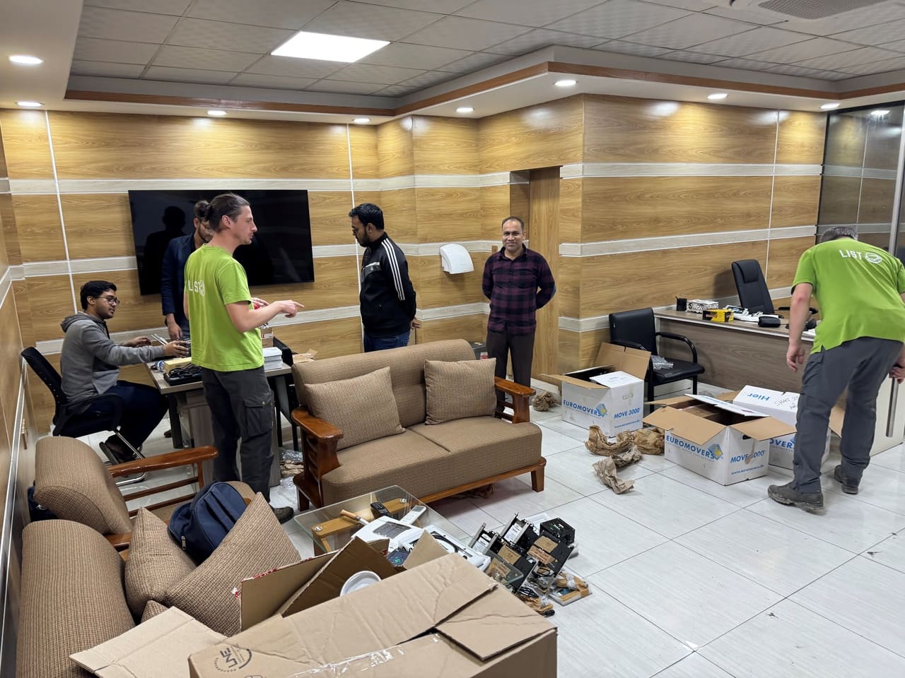
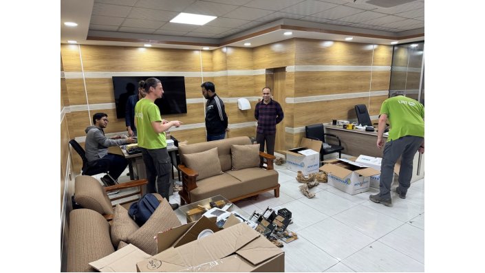
The LIST team at theWebAIS office, preparing the monitoring equipment for its installation (Image: Aaron Firoz)
 0 / 0
0 / 0
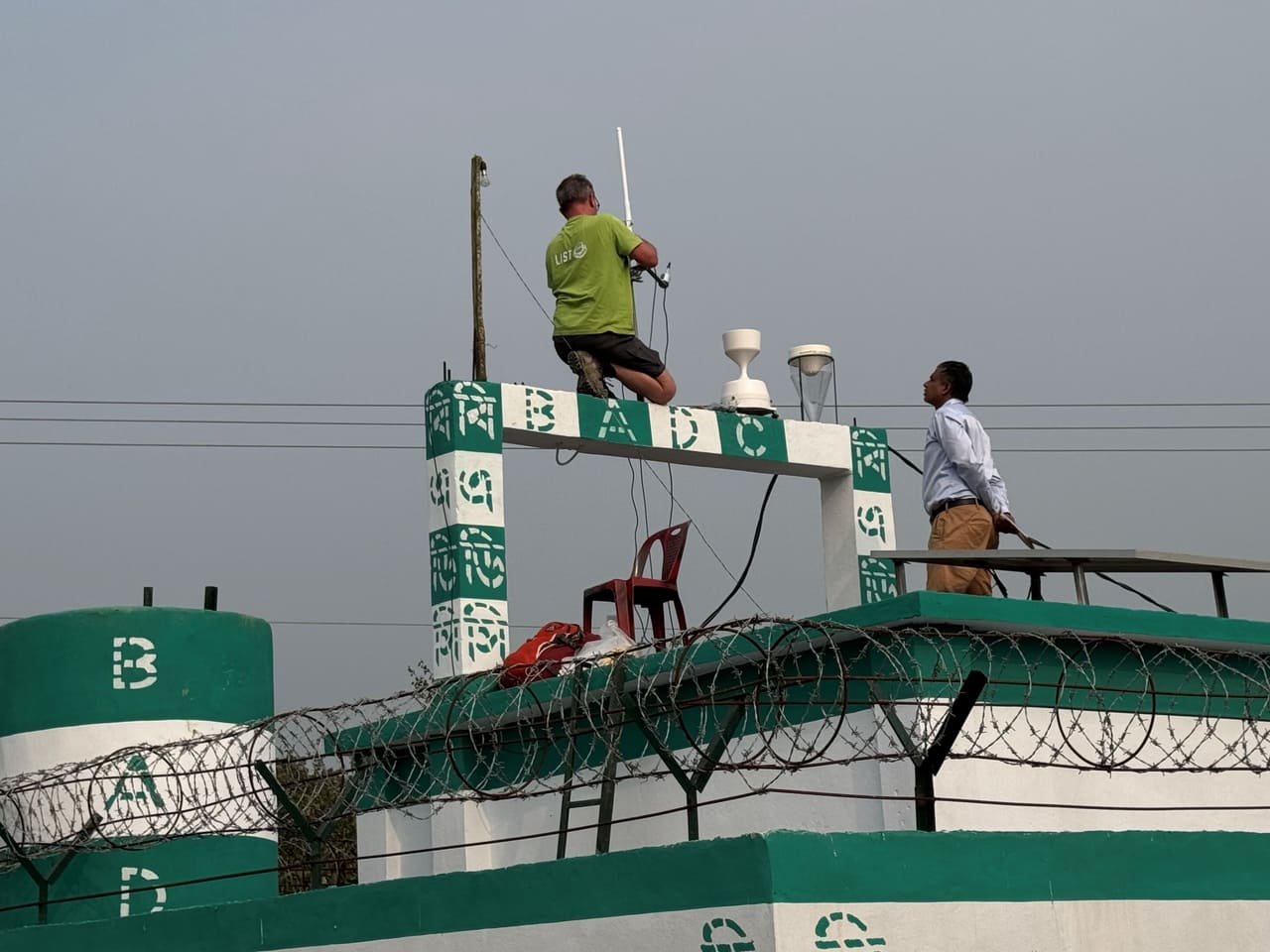
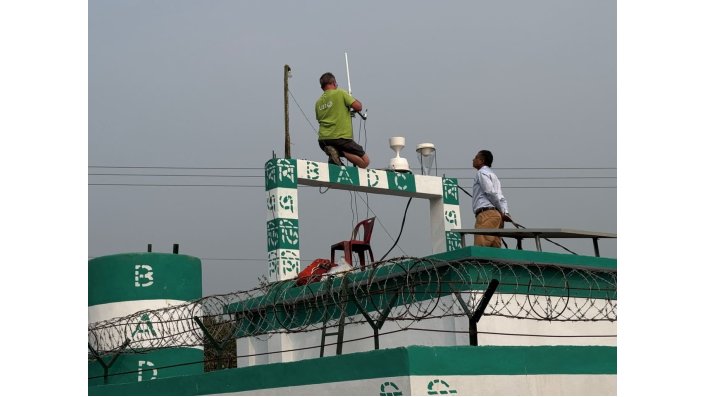
Installation of an eddy-covariance station at one of the field sites (Image: Aaron Firoz)
 0 / 0
0 / 0
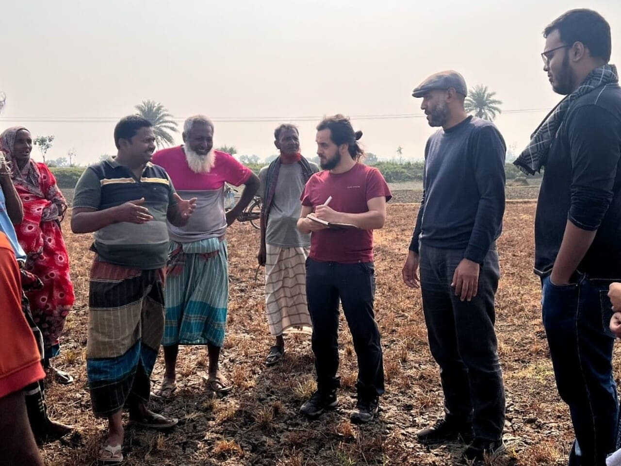
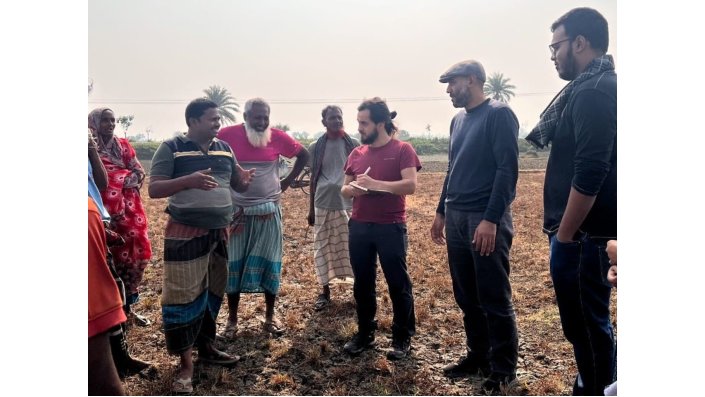
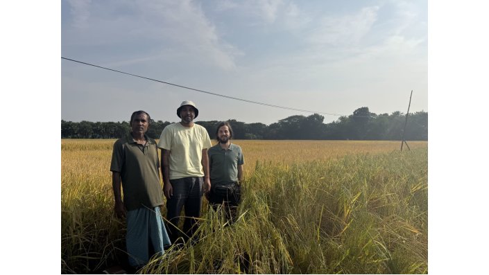
Field visit and interview farmers about their agronomic practices and cultivated crop season (Image: Saher Ayyad)
 0 / 0
0 / 0
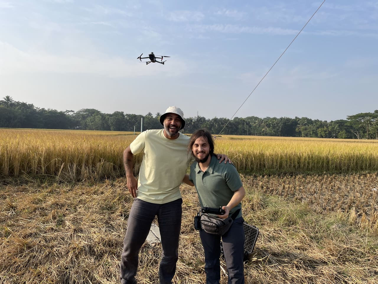
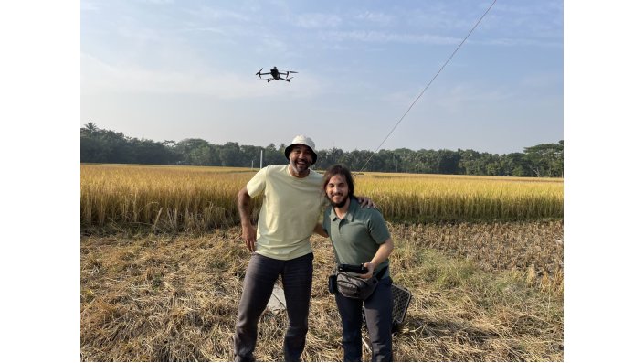
The TH-Koeln team at one of the field sites carrying out a drone flight with multi-spectral camera (Image: Daniel Knopp)
 0 / 0
0 / 0
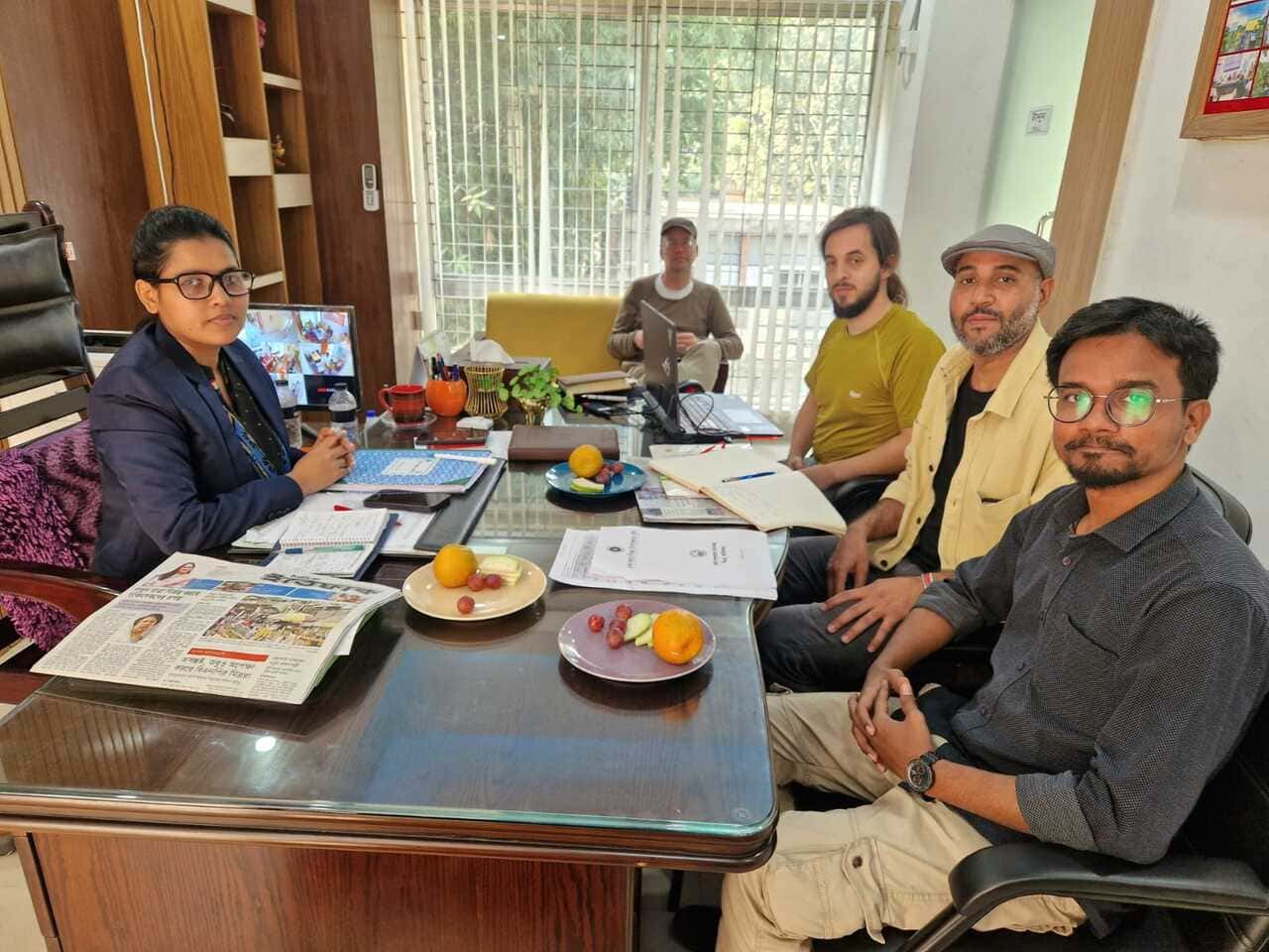
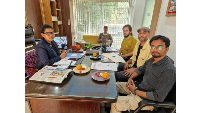
Meeting with an official from the Department of Agricultural Extension in the Ghior sub-district (Image: Saher Ayyad)
 0 / 0
0 / 0
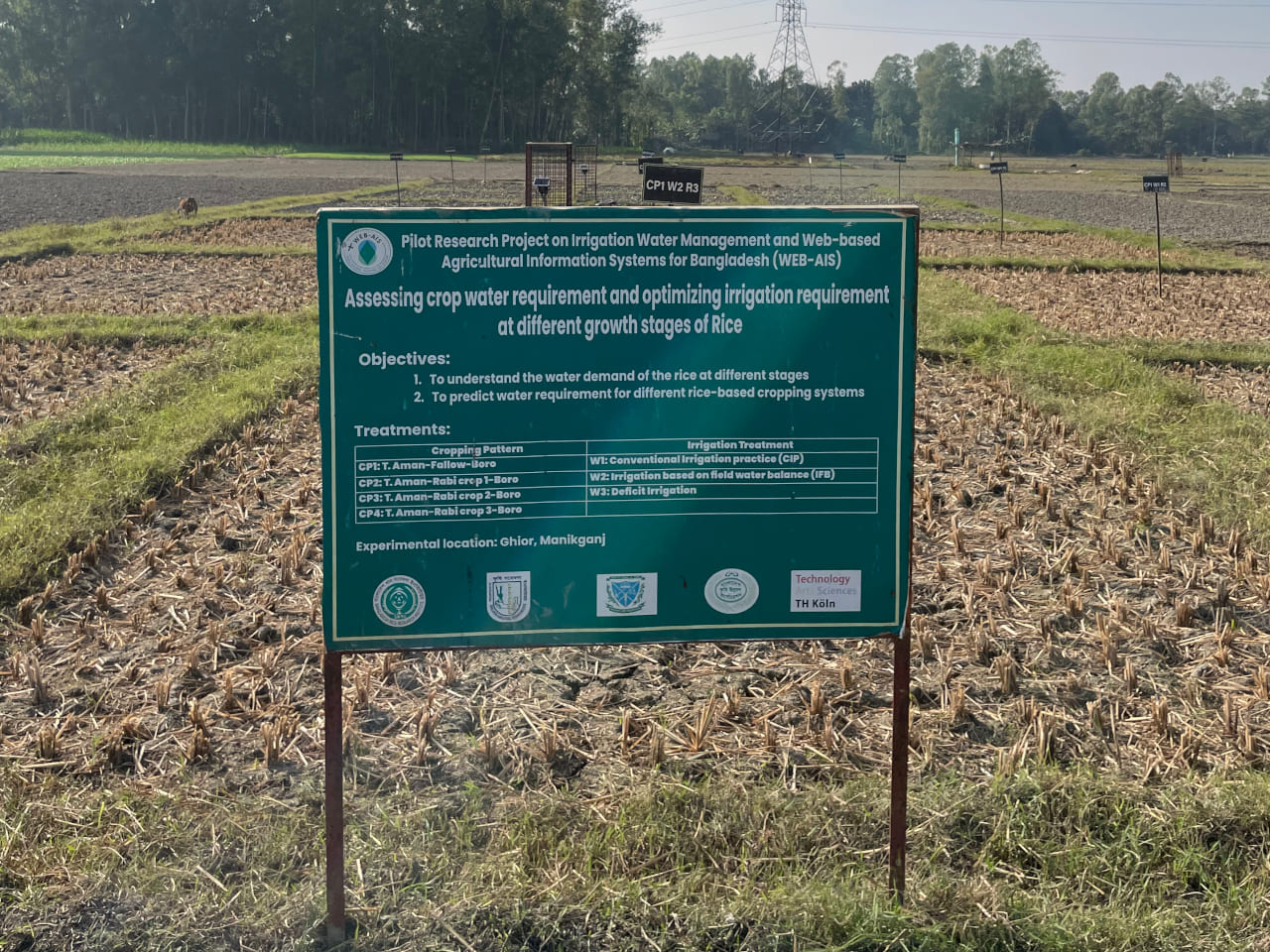
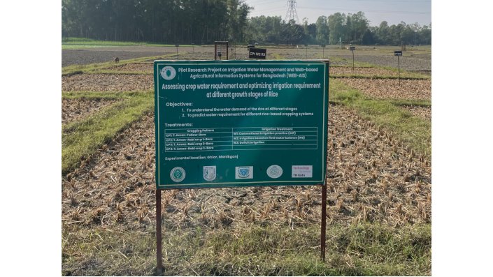
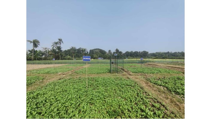
Experimental plots at the study site in the sub-district Kolaroa (Image: Saher Ayyad)
 0 / 0
0 / 0
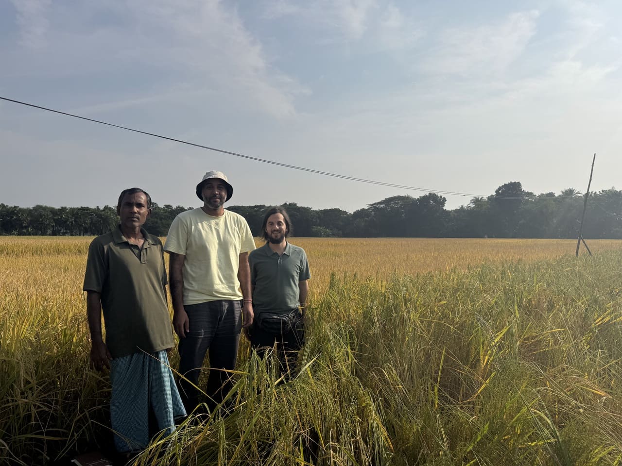
TH-Koeln field visit, study and farm interview at the study site in the Bathiagata sub-district (Image: Daniel Knopp)
 0 / 0
0 / 0
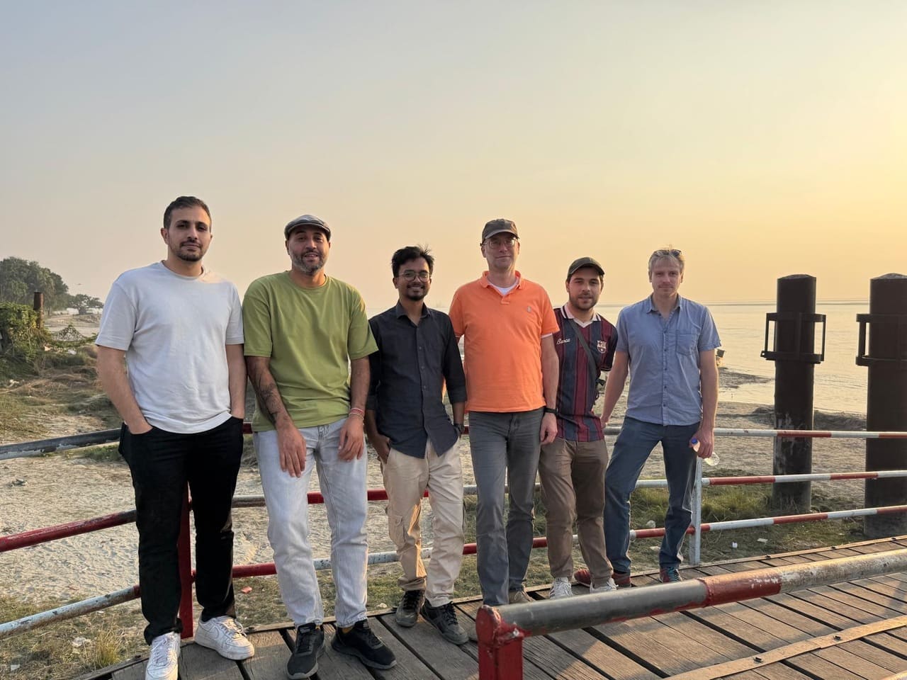
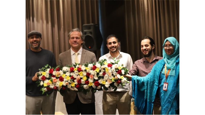
TH-Koeln, LIST and TU-Darmstadt teams (Image: Bilal Al-Saeedi)
 0 / 0
0 / 0
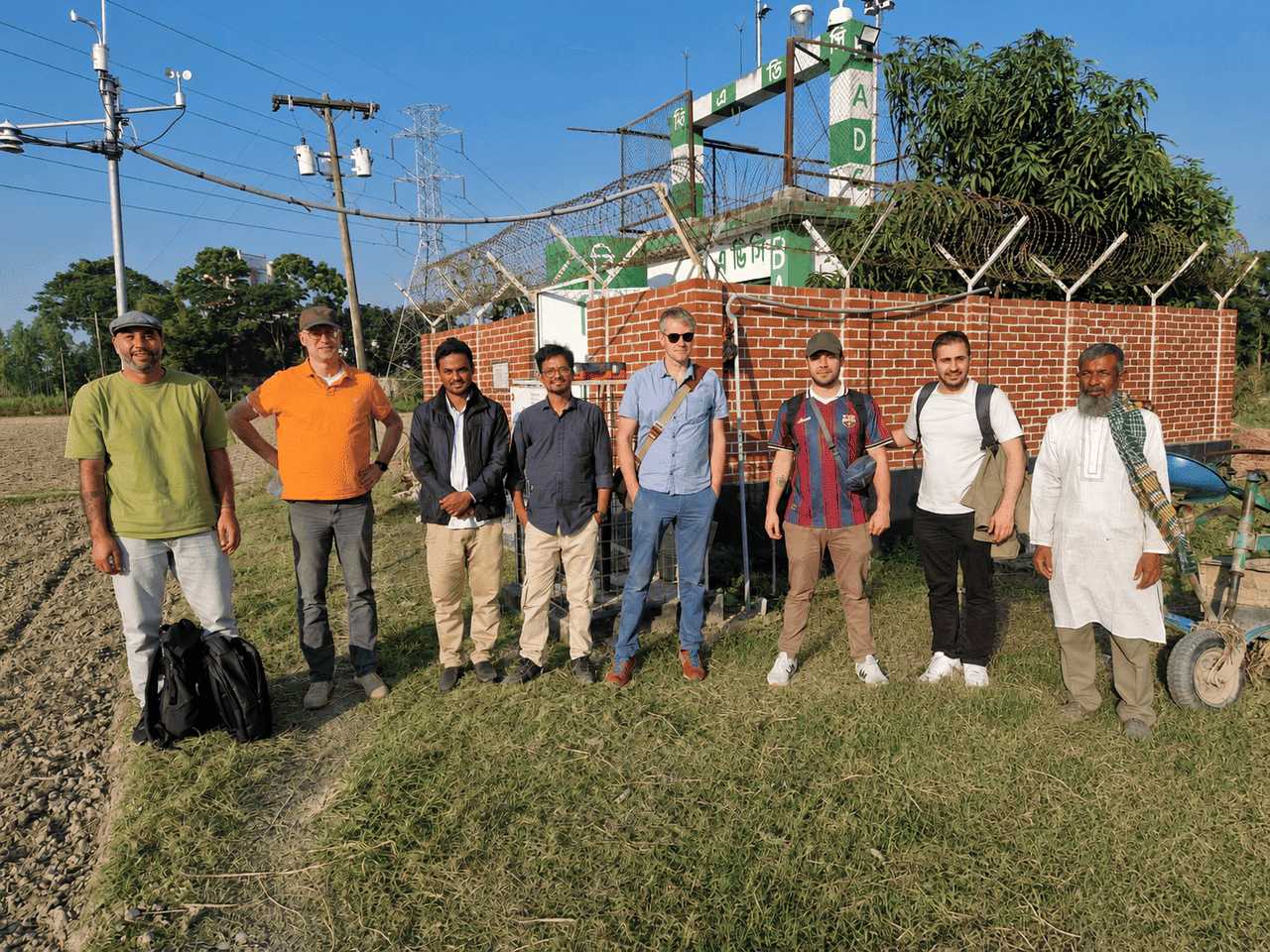
Field visit to the pumping station in the Ghior sub-district (Image: Bilal Al-Saeedi)
 0 / 0
0 / 0
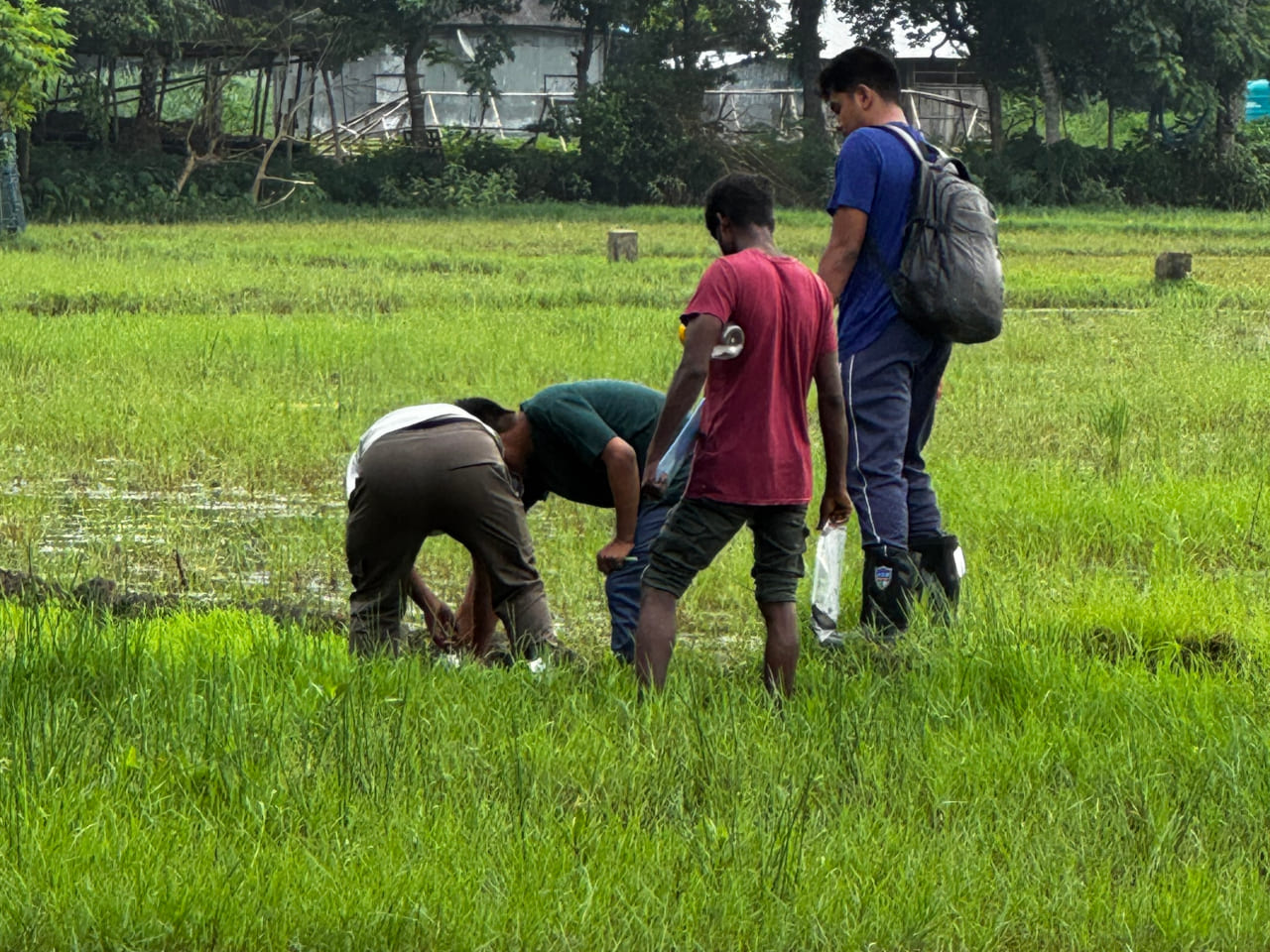
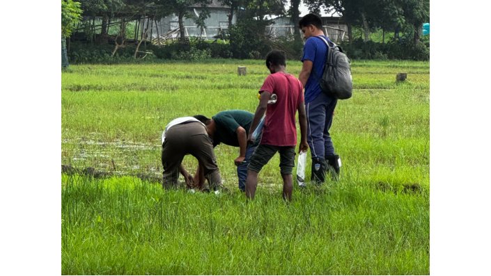
Salinity level measurements in a saline coastal area in the south (Image: BUET Team)
 0 / 0
0 / 0
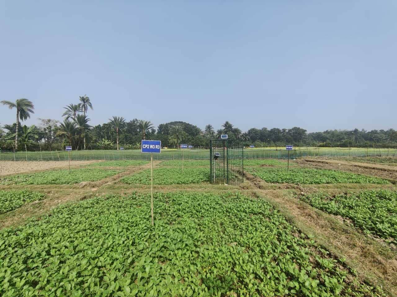
Experimental plot in the sub-district of Kolaroa (Image: BRR + BARI Team)
 0 / 0
0 / 0
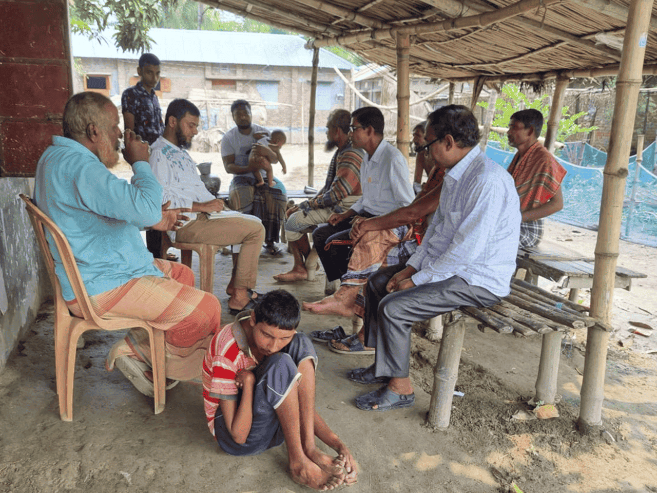
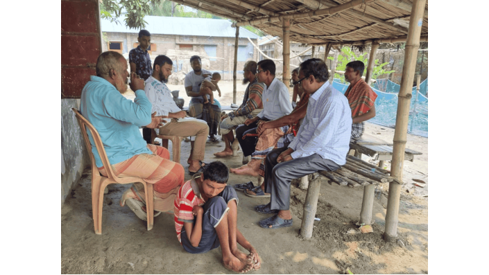
A socio-economic interview with a farming community conducted by BAU (Image: Dr. Wakilur Rahman)
 0 / 0
0 / 0
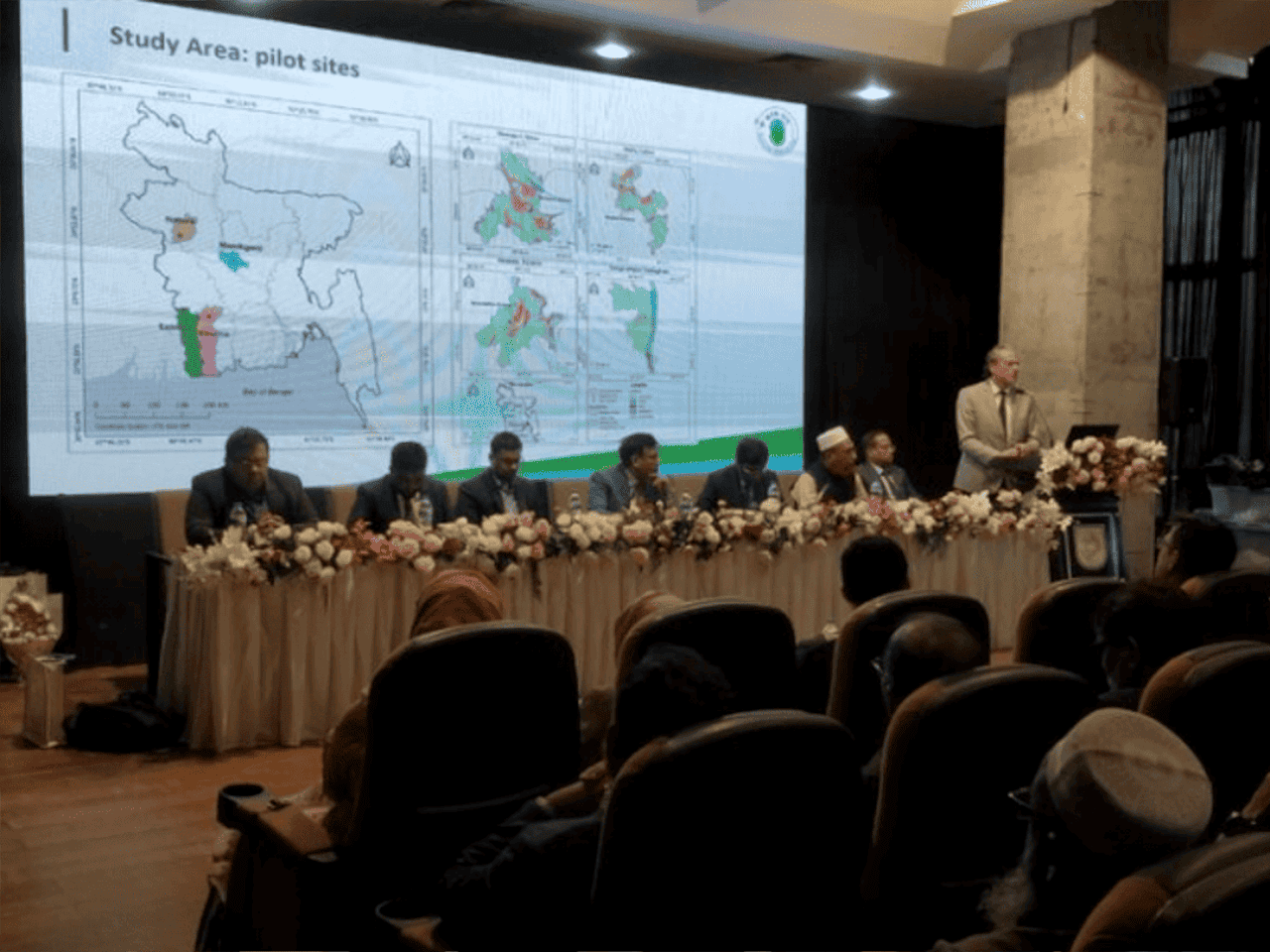
Prof. Dr. Lars Ribbe gave the opening speech at the National Workshop (Image: Aaron Firoz)
 0 / 0
0 / 0
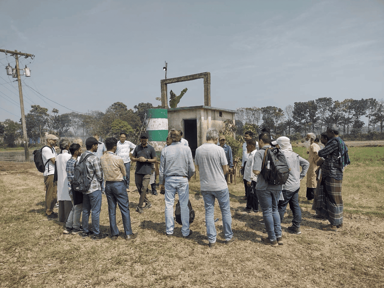
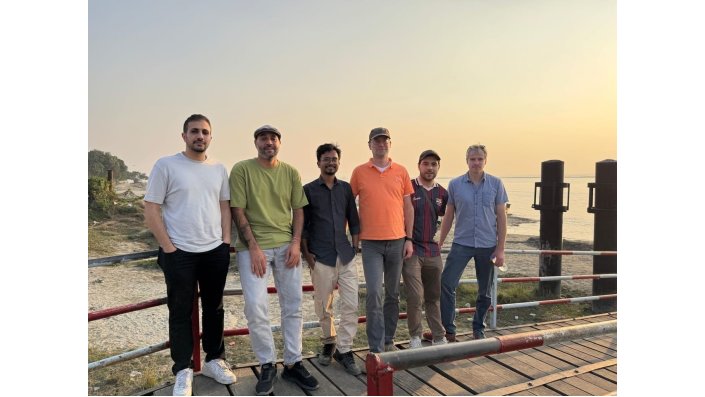
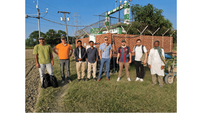
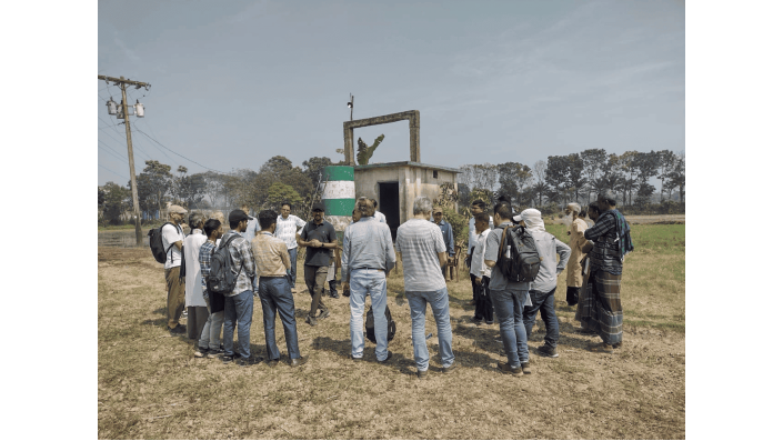
Field visit by the WebAIS consortium (Image: Aaron Firoz)
 0 / 0
0 / 0
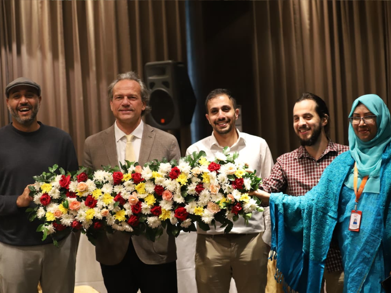
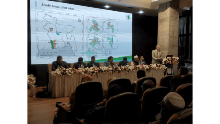
The TH-Koeln team at the national workshop in December 2025 (Image: Aaron Firoz)
Tools
WebAIS platform: The web-based information and decision-support platform. It integrates the project sensor data maps and model results. It includes a geospatial viewer time-series data and a knowledge portal. It is built on open standards and tools such as 52North and GeoNode. Access to the public site is free; real-time sensor data via smartsense.lu.
Lessons learned
- Lesson 1: Shared and well-documented data is the main bottleneck. The project learned that WebAIS cannot fully operates as a real-time decision support system without continous access to national hyidrological, climate, soil, crop, and irrigation datasets from local institutions BWDM, BMD, DAE, SRDI, and BADC.
- Lesson 2: Sites differ so one solution will not fit all. Natore and Manikganj show different knowledge levels water problems and cropping changes. Load-shedding repeatedly disrupts irrigation. Designing with farmers through surveys focus groups and mapping and involving BADC and the Ministry early keeps the platform aligned with user needs.
- Lesson 3: Cross-institutional coordination is critical, strong coordination between work packages and partners institutions is necessary for successful integration